Nearly 60 million individuals face the threat of severe weather in the southern United States on Thursday.
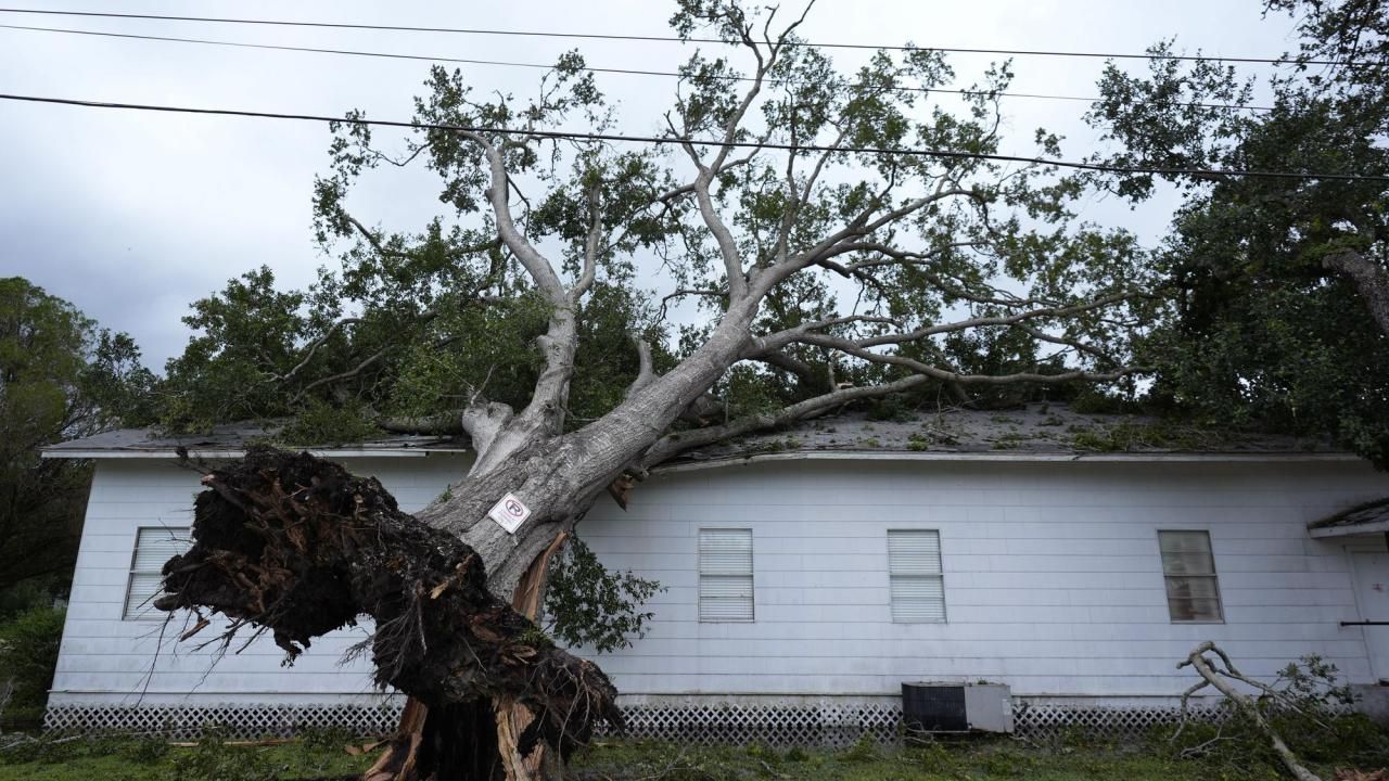
A turbulent weather pattern is set to unleash a series of destructive storms and tornadoes, posing significant threats to lives and property across the southern United States until the week’s end. Meteorologists issue warnings of severe thunderstorms, with the potential to spawn tornadoes, spanning much of the southern U.S. and extending into parts of the mid-Atlantic region through Thursday. Although the severity of these thunderstorms might not match the ferocity witnessed earlier in the Midwest and Great Plains this week, there remains a distinct possibility that the most potent storms could generate tornadoes. An estimated 60 million individuals reside within the anticipated zone of severe weather through Thursday night.
The Storm Prediction Center’s recorded data, spanning from Monday through early Thursday afternoon, tallied 1,078 severe weather incidents, including 95 tornado reports. Wednesday alone witnessed at least 454 severe weather incidents, marking it as the most significant day for severe weather during the entire outbreak. The potential impact of a single brief tornado striking a densely populated area underscores the immense risks to lives and property. Moreover, the prevailing trend of multiple tornadoes occurring each day continues, with the storms progressively encroaching into more densely populated regions as the week unfolds.

A wedge of cool air is expected to shield areas from Boston to New York City, Philadelphia, Baltimore, and Pittsburgh from severe weather until Thursday night. Washington, D.C., lies on the periphery of this cooler air influence. While the lower atmosphere remains cool, any thunderstorms and high winds will be forced to manifest several thousand feet above ground level, mitigating their impact at ground level. Major metropolitan areas and key airport hubs, including Richmond, Virginia; Montgomery, Alabama; Jackson, Mississippi; Shreveport, Louisiana; and Dallas, are at heightened risk of severe weather. As storms develop or approach these areas, as well as numerous regional secondary hubs, ground stops may result in extensive airline delays and potential flight cancellations.
According to meteorologist Douty, it has been nearly a month since severe storms affected much of Virginia, with April 15 marking the last widespread occurrence of wind and hail in the state and the broader mid-Atlantic region. Thursday promises to be an active day, with severe weather expected from Virginia to Florida and Texas.

A cluster of thunderstorms, remnants from the previous night’s storms in the Tennessee Valley, will migrate from southern Georgia to northeastern Florida through Thursday evening. These storms are anticipated to bring strong wind gusts, frequent lightning, torrential downpours, and possible hail. Some of the more robust storms within this cluster may even spawn tornadoes. Forecasters are particularly apprehensive about another cluster of thunderstorms set to sweep eastward across the South on Thursday night, likely accompanied by large hail, damaging wind gusts, and localized flash flooding. In areas stretching from north-central Texas to western Louisiana, a few of the most intense storms could produce tornadoes through Thursday evening.
The onset of these storms could lead to substantial travel disruptions, with downpours alone capable of causing significant delays. Motorists are advised to remain vigilant for changing weather conditions, including the possibility of rapidly rising water levels on streets, highways, and underpasses.
Severe storms to focus on southeastern corner of US on Friday
On Friday, the forecast indicates a continuation of severe weather patterns pushing southeastward, casting a shadow over the conclusion of the workweek for millions of Americans. The focal point of this atmospheric disturbance spans from southern Alabama, cutting through central Georgia, to the coastal peripheries of the Carolinas and encompassing northern and central Florida. As the day progresses, there’s a possibility that the intensity of the severe weather may abate in much of this designated zone, barring central Florida, provided the overnight cluster of storms maintains its trajectory. The primary hazards associated with these storm systems include gusty winds, hailstorms, and the ominous prospect of tornadoes or waterspouts, posing potential risks for individuals frequenting beach locales or enjoying recreational activities at central Florida’s theme parks.
Meanwhile, a formidable storm system originating from the northern reaches of Canada is poised to undertake a rapid southeastward journey, initially impacting the Great Lakes region on Friday before traversing into the Northeastern United States over the weekend. This impending weather phenomenon threatens to throw a proverbial wrench into the plans of those anticipating outdoor celebrations for Mother’s Day weekend in the Northeast, as disruptions are anticipated.
This atmospheric disturbance marks a notable departure from the recent prevailing weather patterns across the Central states, where prolonged bouts of severe weather outbreaks have been the norm. However, the Gulf Coast states, particularly Texas and Louisiana, may find themselves grappling with a different kind of meteorological menace, as the forecast indicates a likelihood of torrential downpours and thunderstorms materializing from the latter portion of the weekend well into the middle of the ensuing week. Such inclement weather conditions could exacerbate existing flooding concerns, particularly along the Interstate 10 corridor, potentially necessitating heightened vigilance and precautionary measures among residents and authorities alike.





Leave a Reply